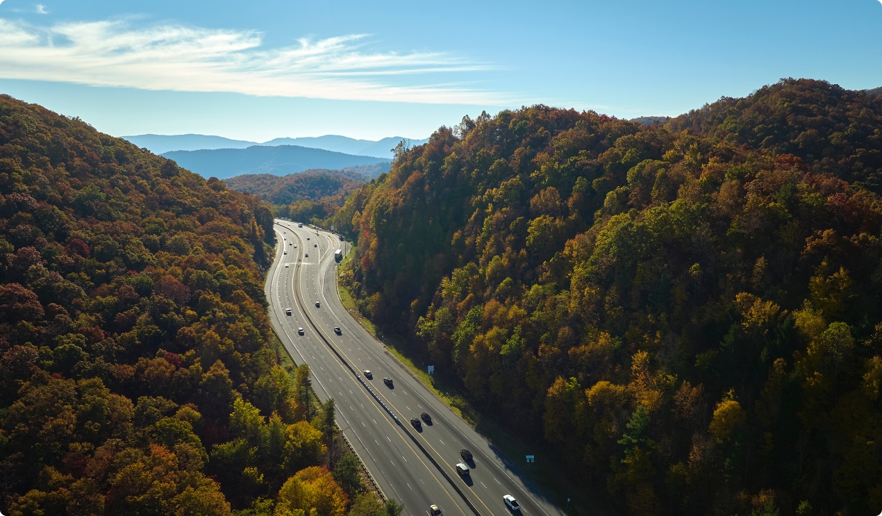
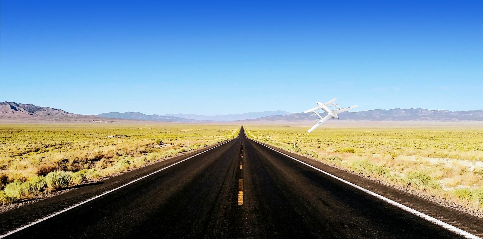
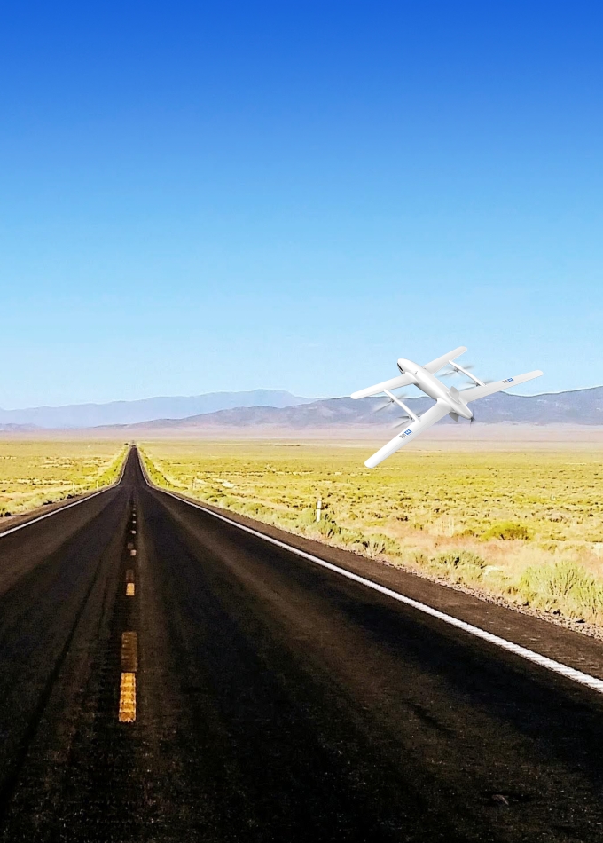
Monitoring of transportation hubs

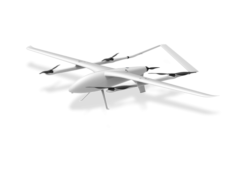
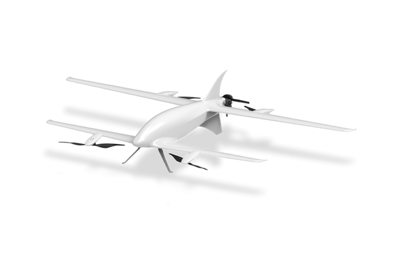
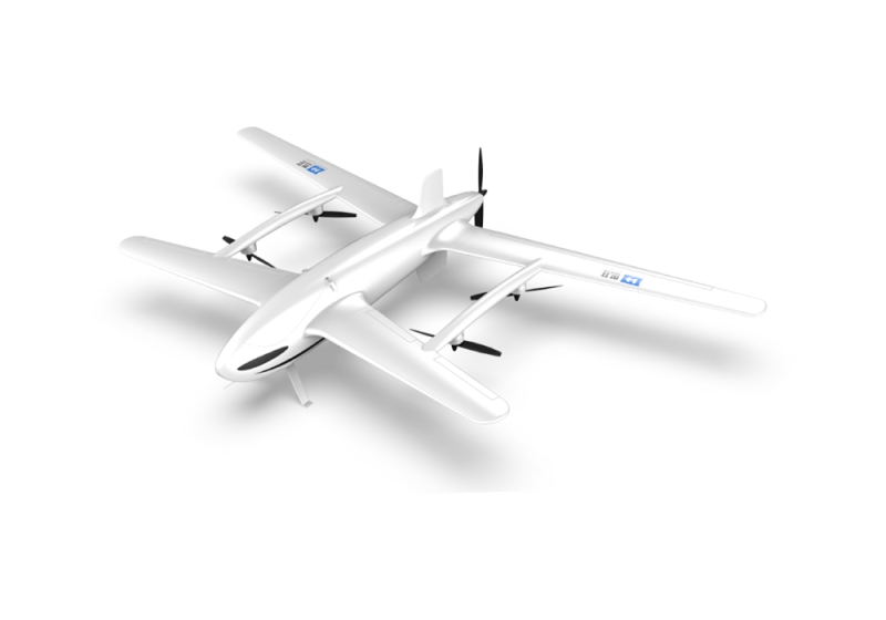
Using drones equipped with high-definition dual beam pods, thermal imaging, LiDAR, multispectral cameras, oblique photography and other equipment to conduct three-dimensional traffic monitoring of roads, constructing hub BIM models to track traffic density and abnormal events of complex structures such as overpasses and ramps.

Urban traffic management

Utilizing unmanned aerial vehicles equipped with 30x zoom dual beam pods, LiDAR, multispectral cameras, and other devices, AI recognition, thermal imaging, 3D modeling, and other technologies are employed for road network scanning, accident identification, and coordinated control of signal lights

Road full lifecycle management

Fixed wing/multi rotor unmanned aerial vehicles equipped with high-resolution cameras LiDAR, Infrared thermal imagers, gas sensors, and other equipment are integrated with road sensors (strain gauges, temperature and humidity sensors, etc.) through AI algorithm analysis, BIM/GIS integration, and other means to build an integrated monitoring network for the entire lifecycle of roads. This enables intelligent management of the entire road life cycle.

Highway inspection

Flexible switching fixed wing/multi rotor unmanned aerial vehicles equipped with high-power zoom dual beam pods, laser radar, multispectral cameras, infrared sensors and other devices can cover tens of kilometers of road sections in different scenarios (such as congested roads, mountainous highways, etc.), and perform daily inspections on road surface diseases, bridge/tunnel health, slope stability and other aspects.

Core Values
Efficiency Improvement and Cost Reduction
Drones equipped with material delivery functions can break through terrain limitations, deliver materials in complex and harsh environments (such as mountainous areas, disaster-stricken areas, islands, etc.), and significantly shorten delivery time (such as medical emergency, emergency material transportation, etc.); Drone point-to-point transportation saves links such as warehousing and sorting, reducing labor and time costs; Urban Air Mobility (UAM) can divert ground transportation pressure, improve overall transportation efficiency, and alleviate traffic congestion.
Promoting Technological Innovation and Industrial Upgrading
The self-developed AOC command platform, intelligent flight and big data diagnosis platform can promote the development of integrated UAV technology platforms and the construction of a new transportation ecosystem.
Enhancing Public Safety and Emergency Response Capabilities
Drones equipped with thermal imaging, high-definition cameras and other equipment can enter the scene immediately, quickly assess the disaster situation, and assist in rescue decision-making. It ensures personnel safety in high-risk scenarios such as high-voltage line inspection and chemical plant monitoring.

案例服务

地面-空中双螺旋为战略支点车规级无人机智造平台