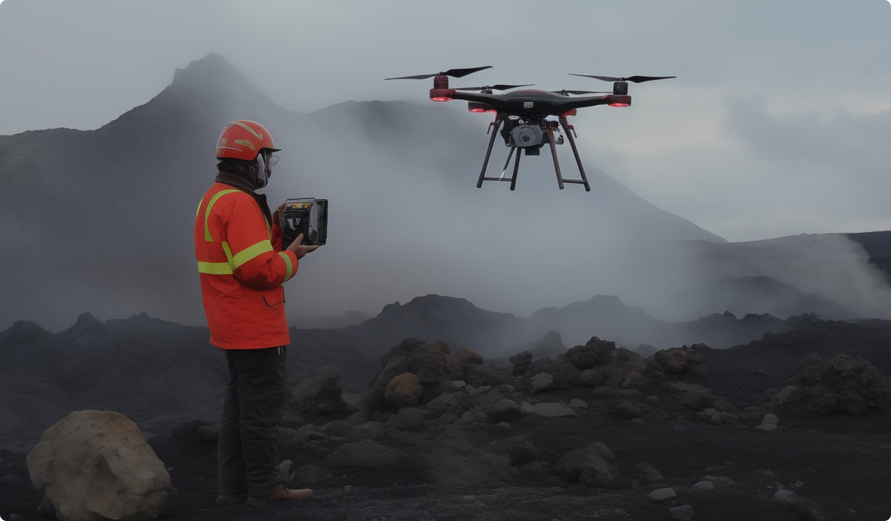
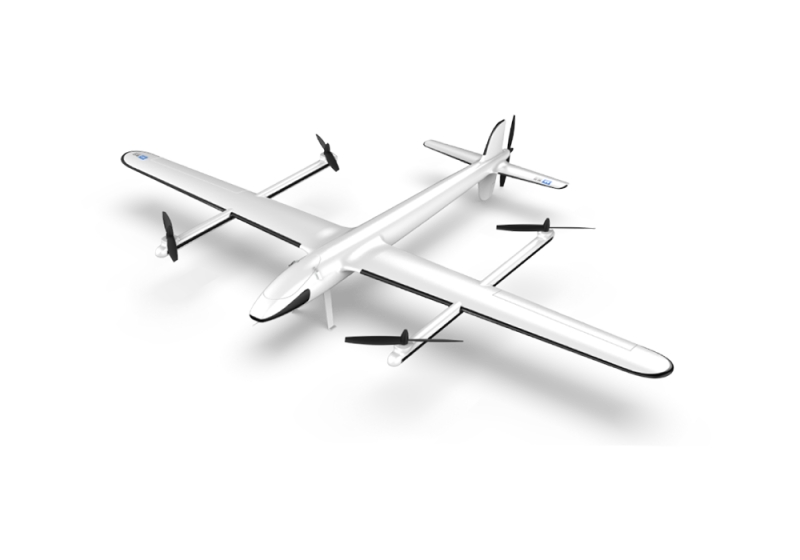
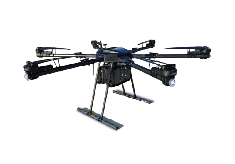
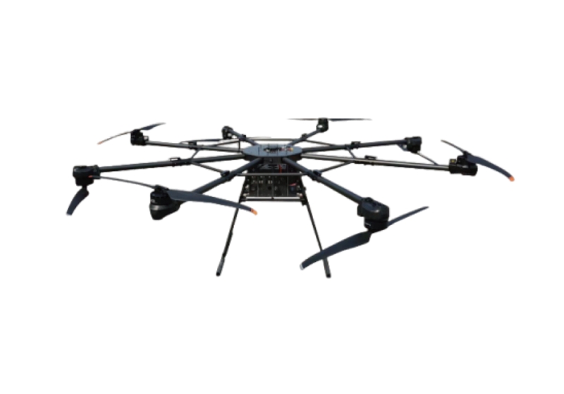
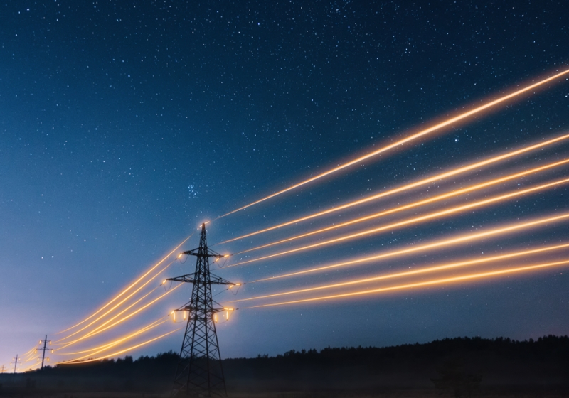
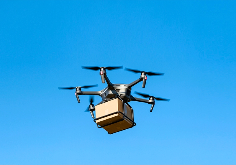
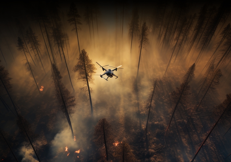
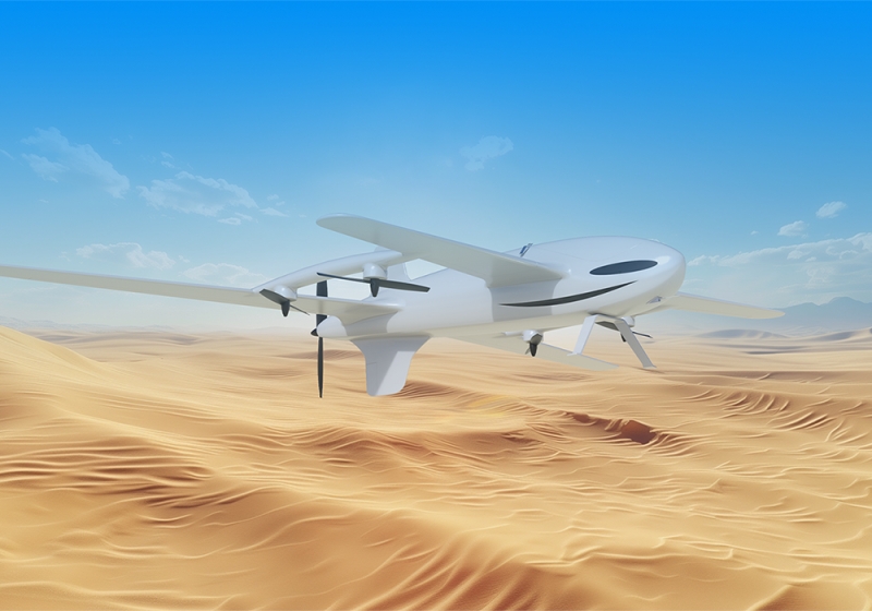
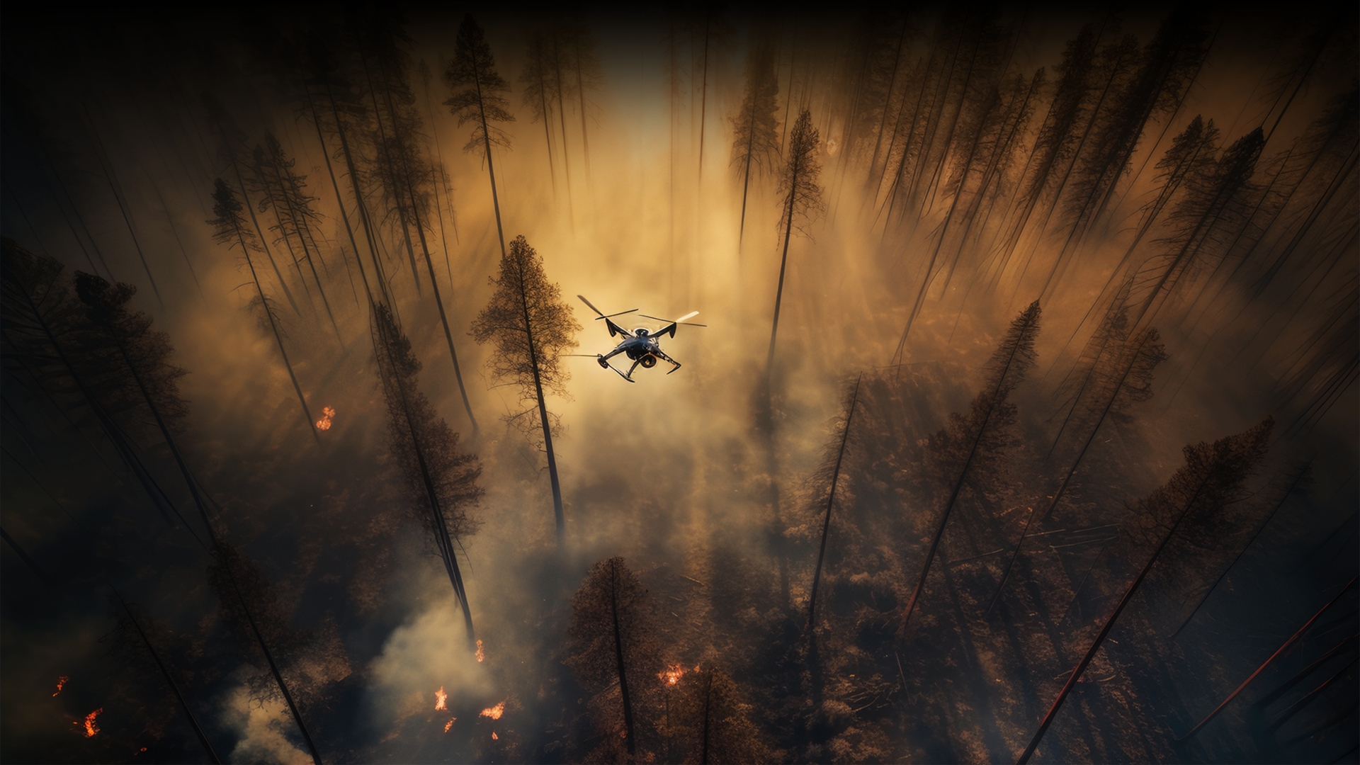
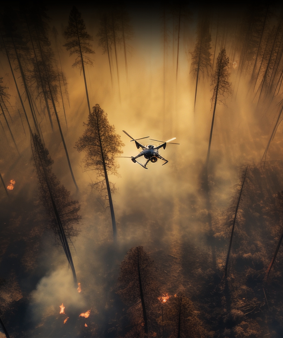
Emergency communication support

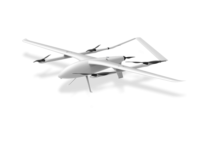
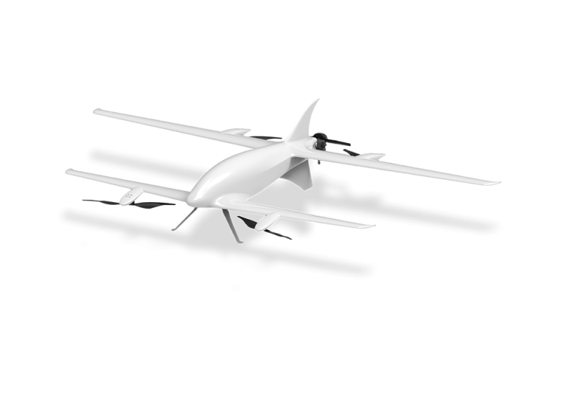
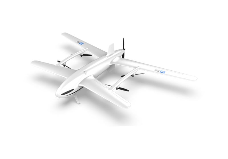
Drones are equipped with cellular base station drones, Mesh self-organizing network devices, low-power wide area network (LPWA) devices, and most of their energy endurance is hydrogen fuel cells or tethered drones. They autonomously fly through AI path planning and cluster collaboration functions to restore and ensure the normal operation of communication systems in natural disaster relief, public safety events, remote area coverage, and other areas.

Delivery of rescue supplies

In natural disaster relief, remote area supply, medical emergency, epidemic or hazardous environments, drone fleets (fixed wing, multi rotor and hybrid/vertical takeoff and landing drones) are equipped with GPS positioning, visual recognition, LiDAR and other equipment to achieve autonomous flight and obstacle avoidance. The drone system ensures data transmission back to the command center through a dedicated communication network and issues delivery tasks to the delivery drones. The drone accurately delivers rescue supplies within the allowable range of load and endurance, using methods such as air drop boxes (with parachutes), rope hanging, and precise targeted delivery.

Forest fire prevention patrol

By using drones equipped with infrared thermal imaging devices, multispectral sensors, and other equipment, AI image recognition is used to monitor and warn of possible fire points, smoke points, and illegal human activities in pre disaster forests.

Disaster site investigation

Drones are equipped with high-resolution cameras, LiDAR (laser radar), gas sensors, multispectral cameras, and other devices. They use real-time dynamic positioning, visual synchronization positioning and mapping, drone formation collaboration, and other technologies to transmit real-time disaster scene investigation information back to the data center through a dedicated drone data network.

Life Search and Rescue

Drones, equipped with thermal imaging cameras, high-resolution dual beam pods, sound sensors, gas detectors, and other sensors, utilize AI and computer vision technology to transmit life information (including videos, photos, locations, etc.) from disaster areas back to the data center through a dedicated drone data link.

Core Values
Rapid Response
Compared with the inefficiency of traditional methods, drones can reach the scene within 30 minutes after a disaster occurs. Equipped with beyond-visual-range visible light cameras, high-power zoom dual-light pods, lidar and other equipment, they can comprehensively collect data and information of the disaster area day and night, and transmit the obtained information back to the command center in real time through a dedicated data link. Drones equipped with lighting, loudspeaker, small material delivery and other equipment cooperate with the nearest on-site personnel to perform tasks such as in-disaster assessment and post-disaster handling.
Safety and Cost-Benefit
With special materials such as carbon fiber and aluminum alloy, drones can replace personnel to enter the disaster area in a timely manner to collect disaster data, which greatly reduces the risk of personnel collection and avoids rescuers entering high-risk areas (such as nuclear-contaminated areas, fire scenes, etc.). Compared with traditional helicopter inspection and data collection, the UAV air-ground emergency system can reduce costs by more than 90%.

案例服务

地面-空中双螺旋为战略支点车规级无人机智造平台