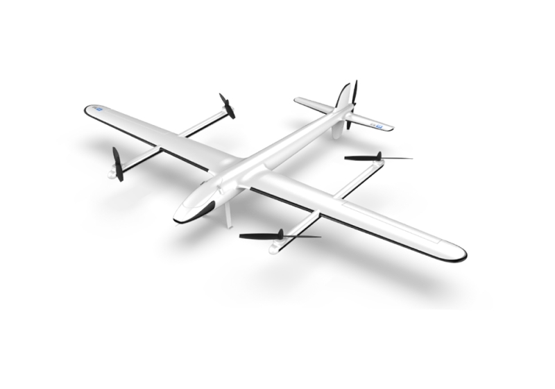
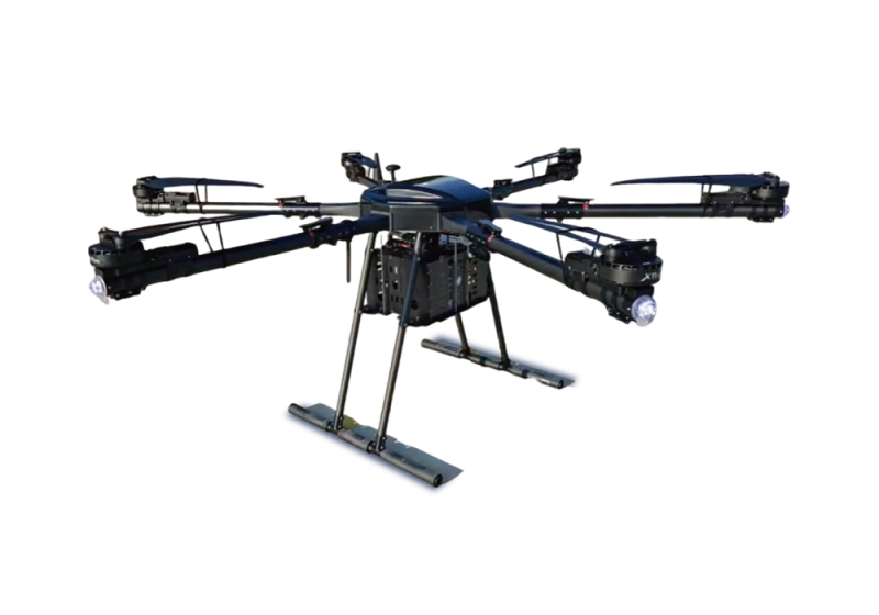
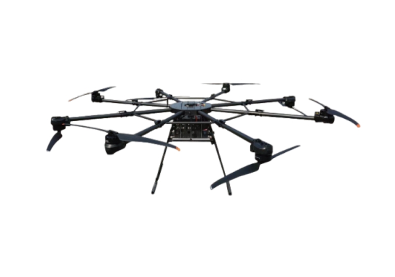


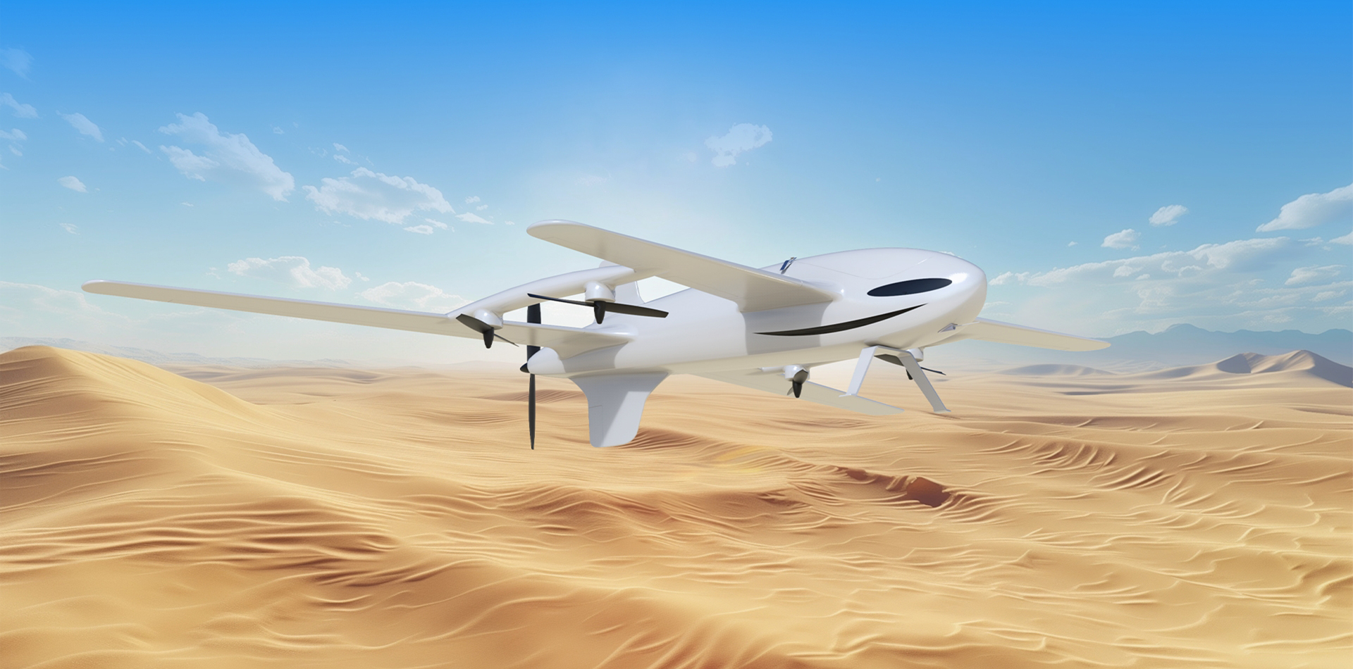
Traffic engineering surveying and mapping
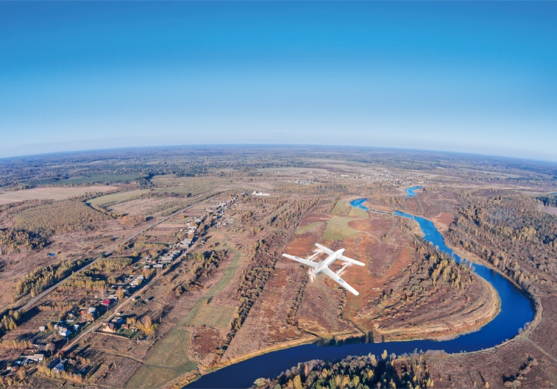
By utilizing equipment such as high beam pods, airborne radar, multispectral cameras, etc., high-precision 3D spatial information and high-resolution true color image information can be quickly obtained. High precision digital elevation models (DEM), orthophoto maps, 3D reconstruction maps, etc. can be generated in fields such as road engineering, bridges and tunnels, railways and rail transit, and traffic flow and planning, thereby promoting the intelligent and three-dimensional situation of transportation engineering surveying and mapping.