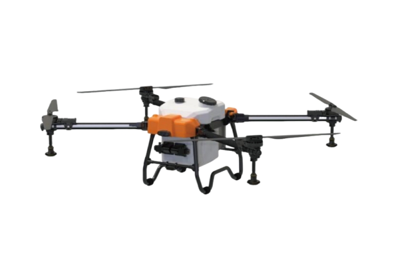
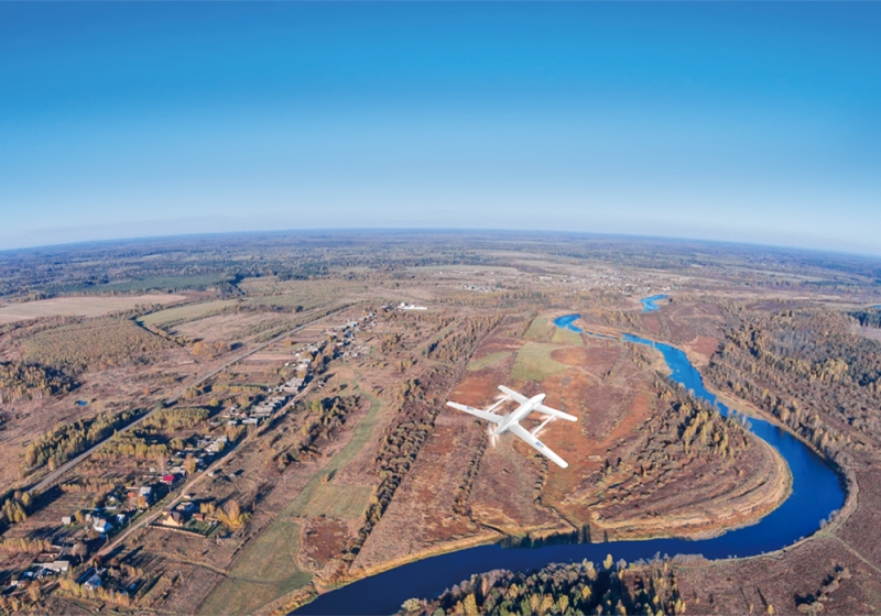
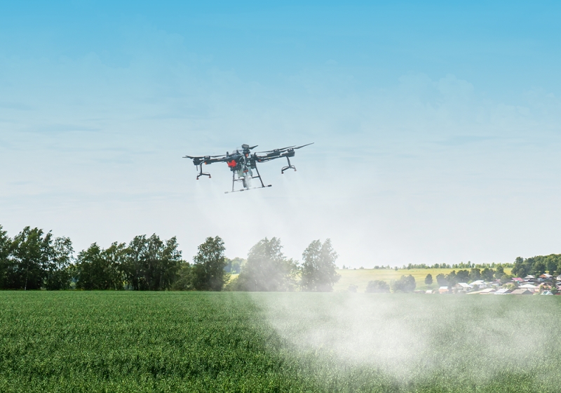
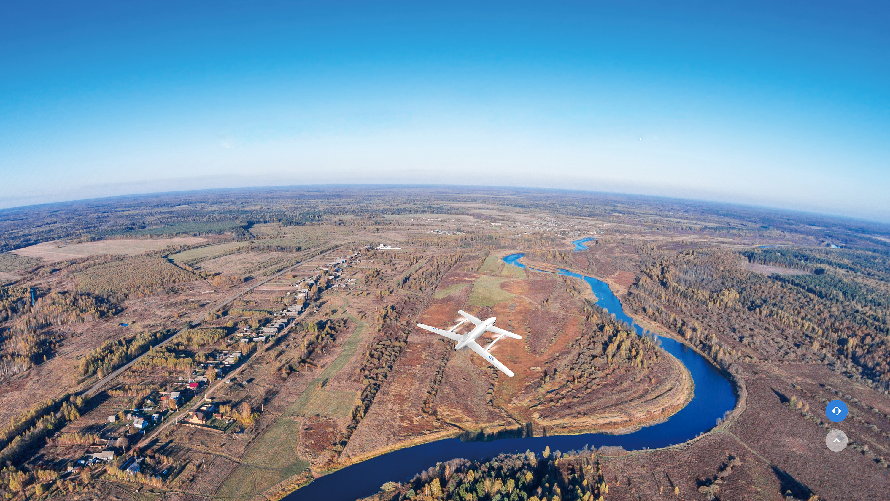
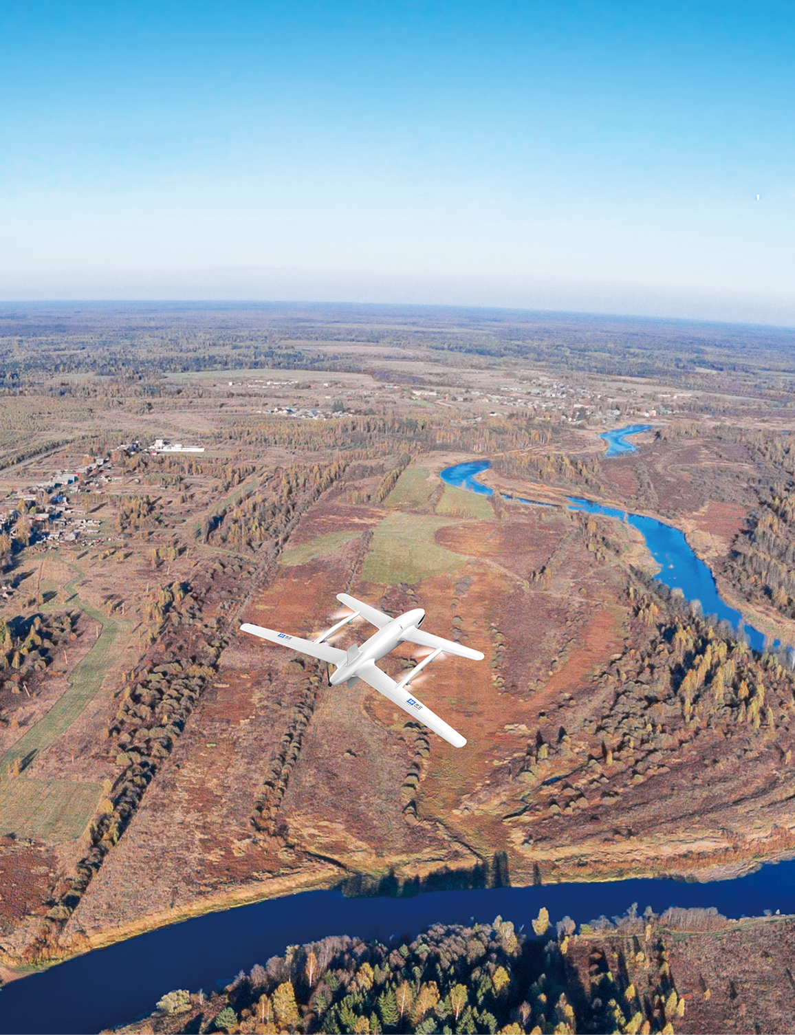
Flood and drought disaster prevention

Using drones equipped with multispectral, infrared sensors and other devices for soil moisture monitoring, and analyzing healthy vegetation through NDVI (Normalized Difference Vegetation Index), can Monitoring and evaluating drought conditions, and artificially increasing rainfall through the use of catalysts, are more flexible and efficient than traditional aircraft.

River and Lake Monitoring and Supervision

Can be used for suspected illegal construction, illegal planting, and development within the jurisdiction of water conservancy projects

Soil and Water Conservation Survey

The drone platform is equipped with a laser radar, multispectral camera, and infrared sensor for high-precision terrain modeling to accurately identify surface erosion gullies, landslide risk areas, etc, At the same time, vegetation coverage and growth status can be monitored to evaluate the soil holding capacity of vegetation and achieve the function of vegetation coverage analysis.

Water conservancy engineering inspection

The drone is equipped with 4K cameras, LiDAR, thermal imaging devices and other equipment to scan the dam body, detect the temperature of the dam body, and regularly take aerial photos to generate 3D models for dam construction Reservoir inspection.

Core Values
Improve Inspection Efficiency
Enhance the efficiency and accuracy of water conservancy facilities inspection, promptly detect potential safety hazards, and significantly reduce the time and labor costs required for traditional manual inspection.
Improve Inspection Efficiency
Enhance the efficiency and accuracy of water conservancy facilities inspection, promptly detect potential safety hazards, and significantly reduce the time and labor costs required for traditional manual inspection.

案例服务

地面-空中双螺旋为战略支点车规级无人机智造平台